Monitoring of snow cover, dynamics of snowfall and demonstration of erosive processes in the fields of the SPC GF named after A.I. Barayev in 2024
News
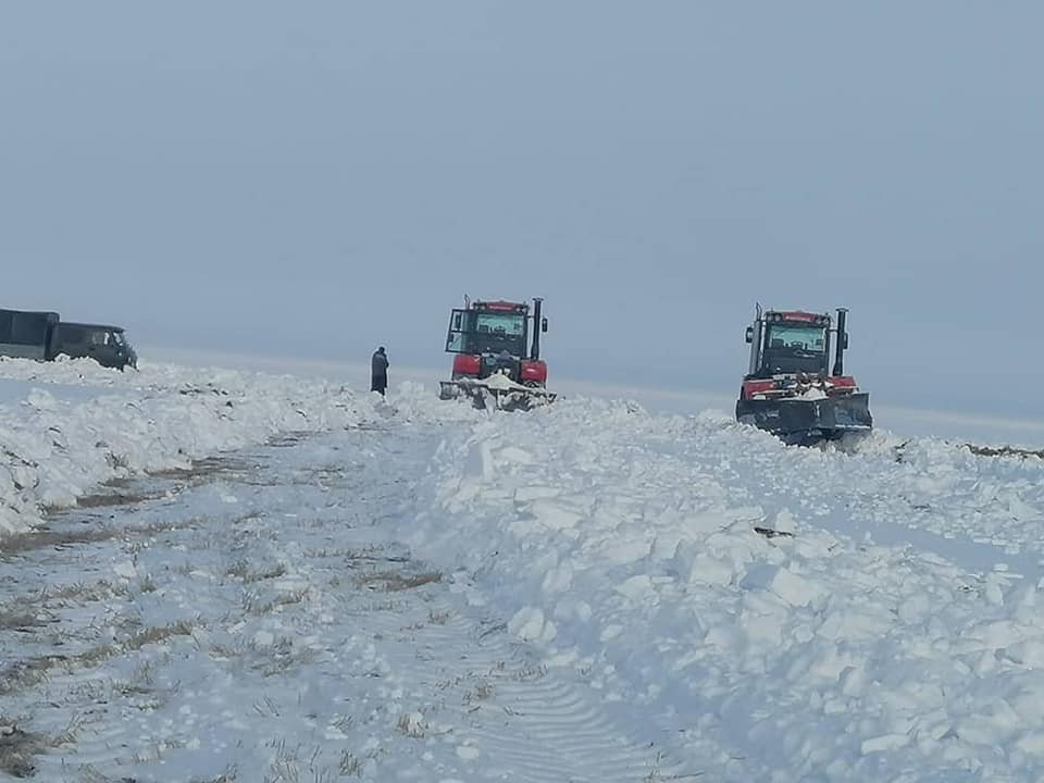
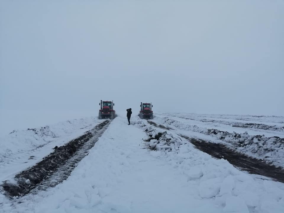
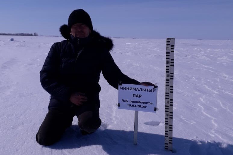
The SPC GF named after A.I. Barayev carries out systematic observations of the state of the snow cover and the dynamics of snowmelt using means of aerial and satellite remote monitoring (Figure 1-3).
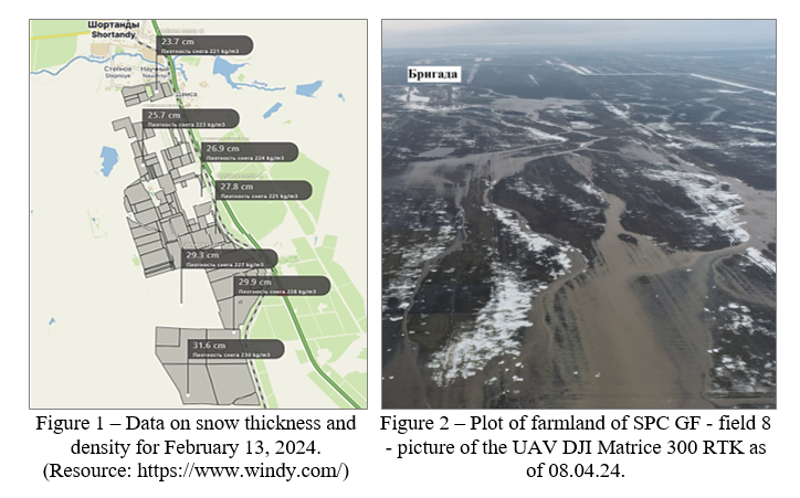
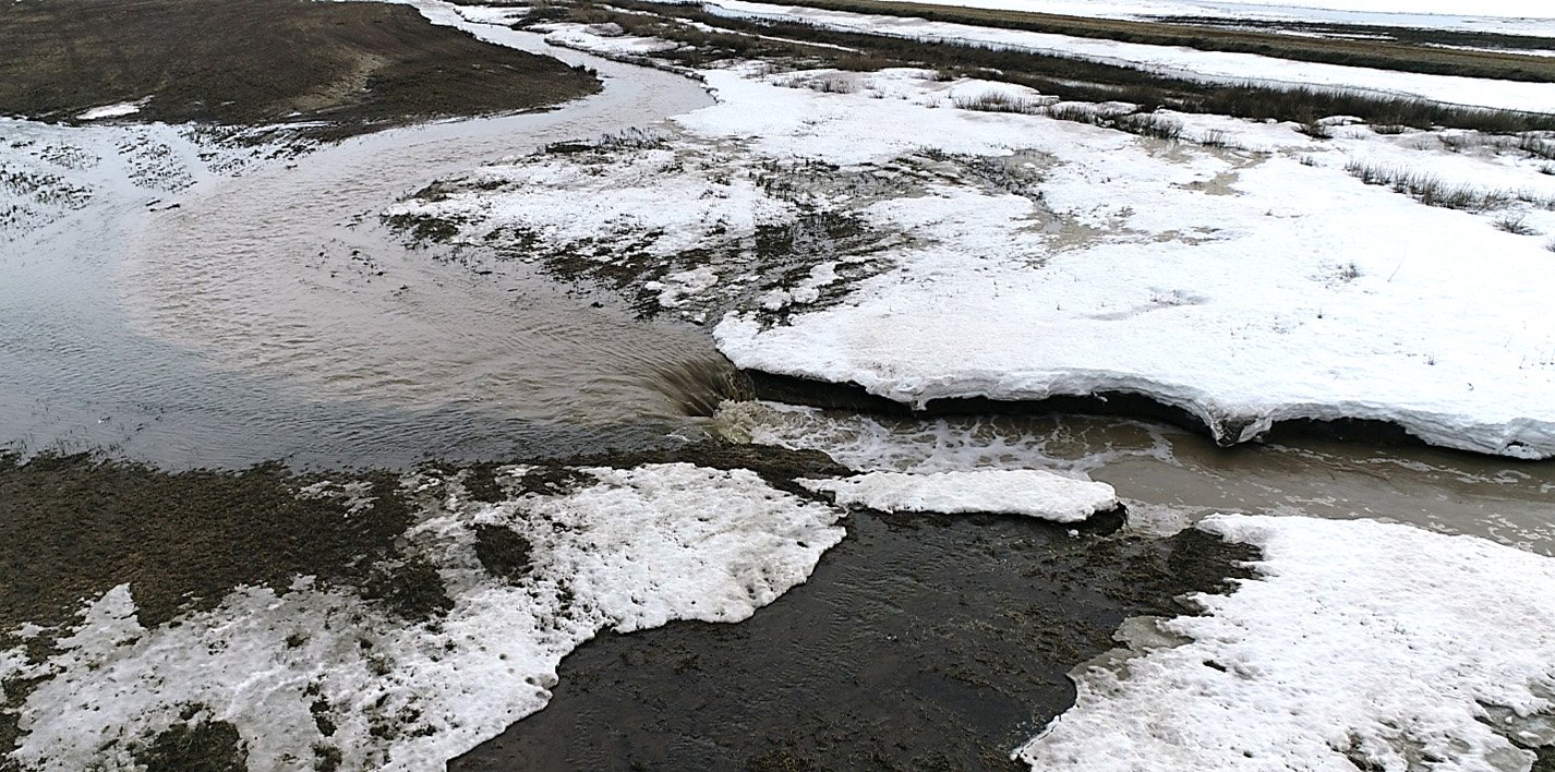
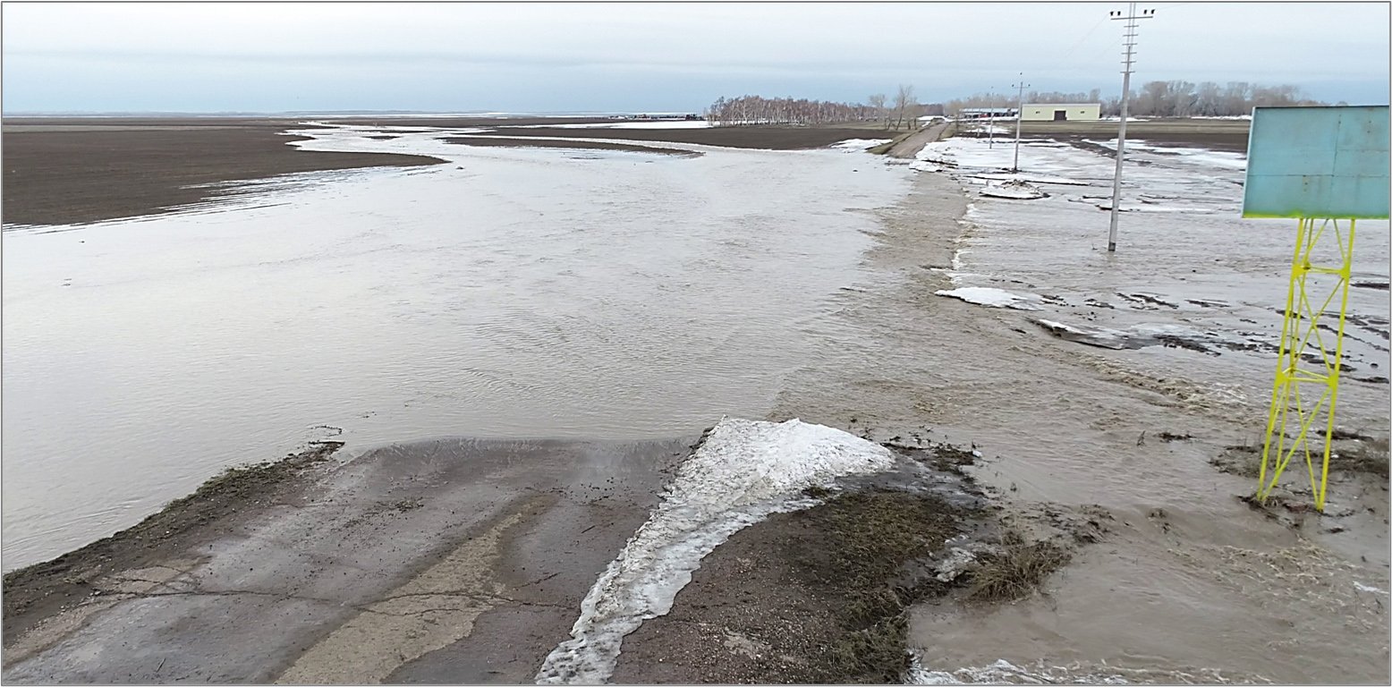 Figure 3 — Overflow of meltwater through the grader of the «SPC GF named after A.I. Barayev» LLP brigade, picture of the DJI Matrice 300 RTK UAV as of 08.04.24.
Monitoring of the dynamics of snow accumulation in 2024 showed that the maximum values of snow thickness were at the end of February, and density — in March (Figure 1). This is due to the precipitation in the form of rain in late February — early March.
The beginning of snowmelt occurred at the end of March — beginning of April, as last year 2023, but due to the alternation of rains and frosts in the autumn -winter period, there was a layer–by-layer icing of the snow cover. In this connection, with low soil permeability in the spring period, as can be seen from Figure 2, meltwater flows increased, which led to flooding and the formation of bywashes in the fields of SPC GF.
A comparison of the data from monitoring observations of this and last year indicates a more intense snowfall this year.
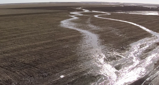
Remote monitoring of the development of water erosion processes at the experimental research site is conducted (Figure 4, 5). Formed watercourses, planar erosion of the arable layer and ravine formation are noted. Based on the UAV images and the data obtained, the calculation of the losses of washed away soil, the area and volume of erosion washouts is carried out.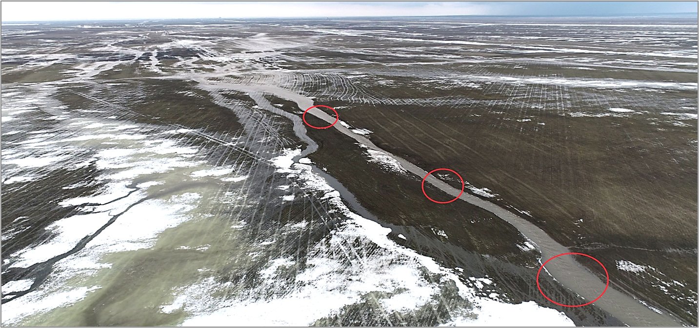
Figure 4 — Manifestations of water erosion. The formed flow of meltwater and soil erosion. A picture of the DJI Matrice 300 RTK UAV, 08.04.2014.
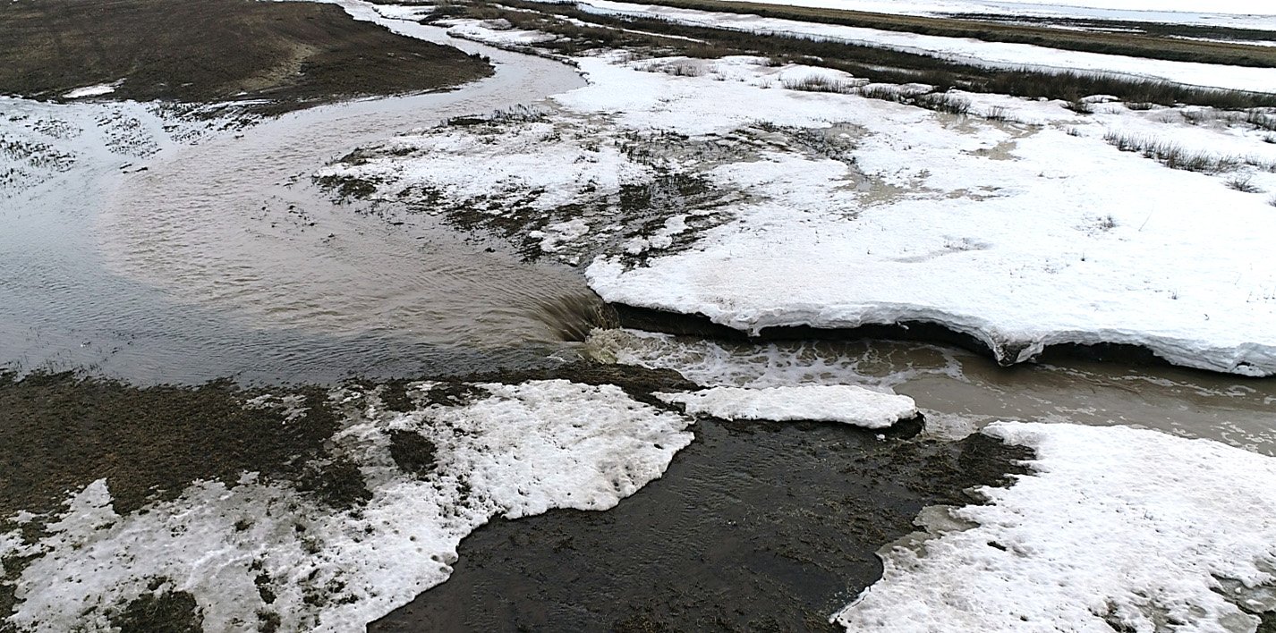
Figure 5 — Ravine formation processes at the experimental research site. An image of the DJI Matrice 300 RTK UAV, 08.04.2014.
Based on materials from the Precision Farming Laboratory
